Drones with Thermal & High-Res Cameras
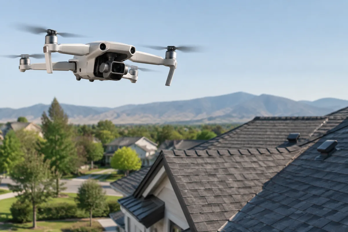
Drones with Thermal & High-Res Cameras
Aerial thermal and high-resolution imaging that finds trapped moisture and damage without a single foot on your roof. It is a way to see the condition of a roof from above, in visible light and in heat, before anyone climbs a ladder.
What drones with Thermal & High-Res Cameras is
A roofing drone carries two kinds of cameras. The high-resolution camera captures sharp, detailed images of the roof surface — cracked or lifted shingles, damaged flashing, worn seams, debris, and other visible wear. The thermal camera reads surface temperature differences. Wet insulation and trapped moisture under a roof membrane hold heat differently than dry material around them, so on a thermal image those wet areas often show up as a distinct patch, even though the surface looks uniform to the eye.
This approach improves on the older method of a technician walking the entire roof and relying on visual inspection alone. Some roofs are steep, fragile, or simply too large to inspect that way in a reasonable amount of time. A drone can cover a full roof area quickly, from multiple angles, and record what it sees as a permanent image rather than a verbal note.
How we use it at SoffitSmith by Smithbuilt Roofing
We use drones with thermal and high-resolution cameras to get a full picture of a roof's condition before deciding what work is needed. The thermal pass helps flag areas that may be holding moisture; the high-resolution pass documents the visible condition of shingles, seams, flashing, and edges. Together, they give us a broader read on the roof than a ground-level look alone.
When a thermal image points to a suspect area, we can follow up on the ground with tools built for that purpose — handheld infrared cameras for a closer scan from inside or outside the structure, moisture meters for direct surface readings, and core sampling tools when we need to confirm exactly what is happening under the surface. For roofs where precise measurements matter for material counts or estimates, we can also use aerial measurement platforms. Everything the drone captures is kept as part of the job's photo documentation, the same record we use to keep you updated as work progresses.
This kind of imaging fits naturally with drone and infrared moisture scans, post-storm damage assessments, pre-purchase roof inspections, and routine roof inspections — situations where knowing the full condition of a roof, not just what is visible from the ground, changes the decision.
What it means for you
For a homeowner, the biggest practical benefit is that a thorough look at the roof does not require anyone walking across it. That means less foot traffic on shingles or membrane, and no ladder set against your gutters just to get a general read on condition.
It also tends to make communication clearer. Instead of a description of what someone saw while up on the roof, you can be shown an actual image — a heat map next to a photograph of the same section — so a claim about a wet area or damaged flashing is something you can see for yourself, not just something you are told.
Because the imaging covers the whole roof efficiently, it can also help avoid repeat visits just to check one more section or angle. A single pass can capture data on the entire roof surface at once, which supports a more complete assessment the first time.
What to expect during your visit
Before the drone is flown, we typically look at the roof from the ground and confirm there is enough open space and acceptable conditions — wind, rain, and nearby obstructions all affect whether it is a good day to fly. No special preparation is usually needed on your part beyond keeping the area around the home clear.
During the flight itself, the drone passes over the roof capturing both high-resolution and thermal images. This part is generally quick — most of the time on site goes to setup, reviewing the images afterward, and, if something needs a closer look, following up with a handheld thermal camera or a moisture meter on the areas the drone flagged.
Afterward, the images become part of your job's photo documentation, so you can review the same pictures we used to reach any conclusions about the roof's condition, whether that leads to a repair recommendation, a certification, or simply a clean report.
Frequently asked questions
Is flying a drone over my roof safe?
Yes. The drone stays above the roof surface and does not require anyone to walk on it, which removes a step that carries more risk than the imaging itself. Standard precautions around wind and weather conditions are part of deciding when to fly.
How long does a drone inspection take?
The flight itself is usually brief, since the drone can cover the whole roof from the air in one pass. Total time on site depends on whether the thermal images point to areas that need a closer, ground-level follow-up with other tools.
Will this work on any type of roof?
Thermal and high-resolution imaging can be used on most roof types and slopes, including roofs that would be difficult or slower to walk fully. It is commonly used ahead of inspections, post-storm assessments, and pre-purchase evaluations.
Do I need to be home for it?
Not necessarily, since the imaging is done from the air and does not require access to the interior of the home. If a follow-up with a handheld infrared camera from inside is needed, we can talk through what that involves ahead of time.
If you're curious whether drone and thermal imaging makes sense for your roof, reach out to SoffitSmith by Smithbuilt Roofing and we'll walk you through it.