Aerial Measurement Platforms (EagleView)
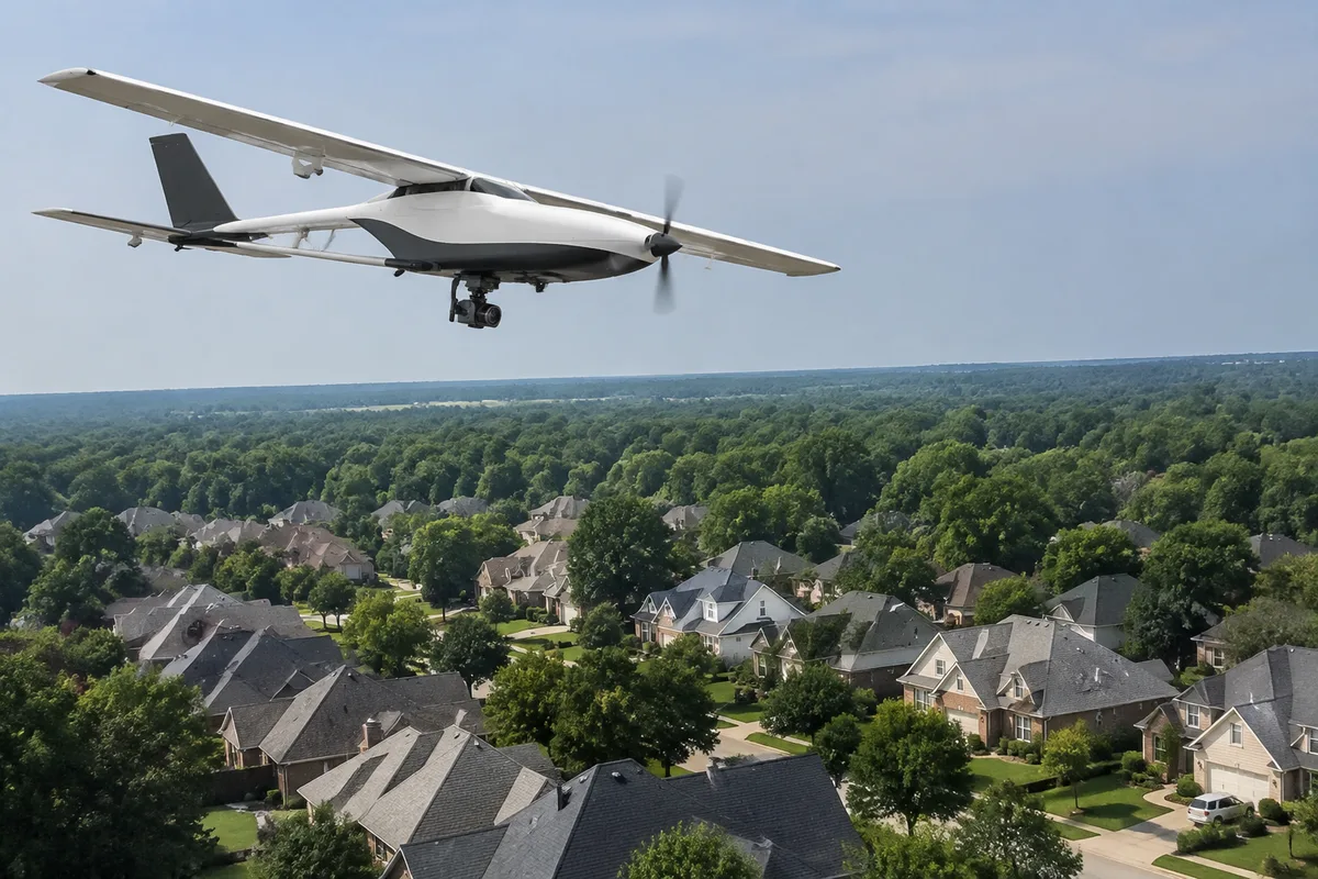
Aerial Measurement Platforms (EagleView)
Before a single shingle is ordered, we start with an accurate picture of the roof itself. Aerial measurement reports give us the dimensions, pitch, and facet layout of your roof from overhead imagery, so the estimate and material list are built on real numbers instead of a guess from the ground.
What aerial Measurement Platforms (EagleView) is
Aerial measurement platforms use high-resolution overhead and satellite imagery to generate a detailed report of a roof: total square footage, the length of every ridge, hip, valley, and eave, the pitch of each slope, and the number of facets that make up the roof plane. The software processes the images into a scaled diagram, so the measurements come from the imagery itself rather than a tape measure and a climb.
This kind of reporting improved on the older method of measuring a roof entirely by hand, which required someone on the roof or on ladders with a tape and a notepad for every edge and slope. It does not replace a physical look at roof condition, but it removes most of the guesswork from figuring out exactly how much material a roof needs.
How we use it at SoffitSmith by Smithbuilt Roofing
We pull an aerial measurement report so material counts and estimates are exact before work starts. That means the shingle, underlayment, and flashing quantities on your proposal reflect the actual dimensions of your roof, not a rough estimate.
We also use it alongside our other on-site tools rather than in isolation. Our drones with thermal and high-resolution cameras and handheld infrared cameras give us a closer look at surface condition and moisture patterns, while moisture meters and core sampling tools confirm what those images suggest once we are on the roof. The aerial measurement report ties the whole picture together with hard numbers on size and layout, and everything we document along the way is logged through our photo documentation app so you can see the same images and figures we are working from.
This approach fits naturally into full roof replacements, new construction roofing, and roof-over or overlay projects, where getting the material list right the first time matters. It also supports the free estimates and consultations, roof certifications, and lifespan estimates we provide, since an accurate measurement is the foundation for all of those.
What it means for you
An accurate aerial measurement means the estimate you receive is built on the actual size and shape of your roof, which helps material orders and pricing line up with the real job instead of needing adjustment later. It also means fewer people need to walk your roof simply to take measurements, which is easier on the roof surface and on your schedule.
Because the report is a visual document, it gives you something concrete to look at alongside your proposal: the facets, the slopes, the total area. That makes it easier to understand what you are being quoted for and why, rather than relying on a verbal description of the roof.
What to expect during your visit
In many cases, the aerial measurement report can be pulled before we ever set foot on the property, since it draws on existing overhead imagery. When a closer look is useful, we may pair it with drone imagery or a walk of the roof to confirm condition and check anything the report cannot show, like surface wear or existing damage.
During an on-site visit, expect us to walk the property, note anything relevant to the estimate, and take photos through our documentation app so there is a clear record. The measurement side of the visit is quick and does not involve extended time on the roof itself. Once we have the report and any supporting photos, we put together the material list and estimate from those numbers.
Frequently asked questions
Is aerial measurement safe for my roof and property?
Yes. Because the measurements come from overhead imagery rather than someone walking every inch of the roof with a tape measure, it reduces the amount of foot traffic on the roof surface itself. Any additional on-site work we do, such as a closer inspection, is carried out with standard care for the roof and property.
How long does an aerial measurement report take?
The report itself is generated from existing imagery and processed quickly. Any time added to your visit usually comes from the parts of the estimate that do involve a physical look at the roof, not from the measurement process itself.
Is this used on every type of roof?
Aerial measurement reporting works on most common roof shapes and roofing types, including asphalt shingle, metal, tile, and low-slope flat roofs. It is used for both residential and commercial properties whenever an accurate set of measurements is needed for an estimate.
Does this replace a physical roof inspection?
No. The measurement report tells us the size, pitch, and layout of the roof, but it does not replace a look at material condition, wear, or damage. We use it together with tools like our drones, infrared cameras, and moisture meters when a fuller picture of roof condition is needed.
If you would like an accurate measurement report as part of your roofing estimate, reach out to SoffitSmith by Smithbuilt Roofing and ask about aerial measurement platforms.